The best ‘unit’ that reflects wader abundance is breeding pairs. Nest attempts are sometimes disturbed and eggs/chicks are often predated, so nests/chicks are not a reliable indicator of numbers of breeders. To identify numbers of nesting pairs of your chosen wader:
- You’ll need an Ordnance Survey grid map, farm field map, and binoculars.
- To survey a landscape-scale area, it’s best to design permanent transects that you walk twice annually, once between mid-April and mid-May and once between mid-May and mid-June.
- Using the Ordnance Survey 1-km grid, select alternate squares. Discount any which contain large amounts of land unsuitable for wader nesting e.g. built-up areas and woodland.
- Identify two 1-km routes running roughly north-south or east-west within each square.
- Choose a dry day with little wind, early in the morning, recording the date and time. Walk the transects at a steady pace, noting down number and location of singing/displaying birds, pairs, and nests.
- Use the maximum number of birds across the two visits as the measure of breeding adults. Repeat the survey each year to monitor trends over time. If arable, cover the rotation in full.
- For a more targeted survey, you could focus your effort on suitable areas of the farm: lapwing or stone curlew plots; short-sward rough grazing, upland or wetland; and favoured spring-sown crops such as beans, peas or linseed. To compare between years, however, you would need to be sure that the areas that you count stay constant.
- In fields with tall rushes and tussocks you may need to zig-zag across them or study harder with binoculars to find waders. However you choose to adapt the route that you walk, repeat it the same way on each visit every year.
- If you have been keeping a close eye on wader nesting, note down how many chicks fledge from each pair and make a comparison over time.
Multiple species transects: if you have other waders/corn buntings/yellowhammers on your cluster priority list, you could survey them at the same time.
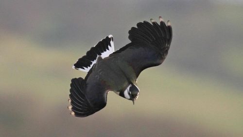
Displaying male lapwing © Aled Williams RSPB

